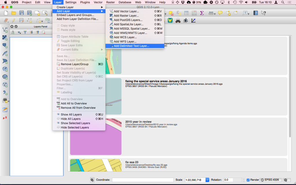
Converting a transit agency’s GTFS to shapefile and GeoJSON with QGIS
Many years ago I wrote a tutorial on how to use an ArcGIS plugin to convert a transit agency’s GTFS package – a group of files that describe when and where their buses and trains stop – into …