Tag: Bicycling

A short list of features of the Netherlands that I still try to wrap my head around

The Netherlands is the country I’ve visited the most, going there eight times between 2011 and 2022. I’ve obsessively visited 31 cities, the Hoge Veluwe national park, and plenty of other places outside cities.

Here are three land use and infrastructure characteristics that continue to fascinate me.

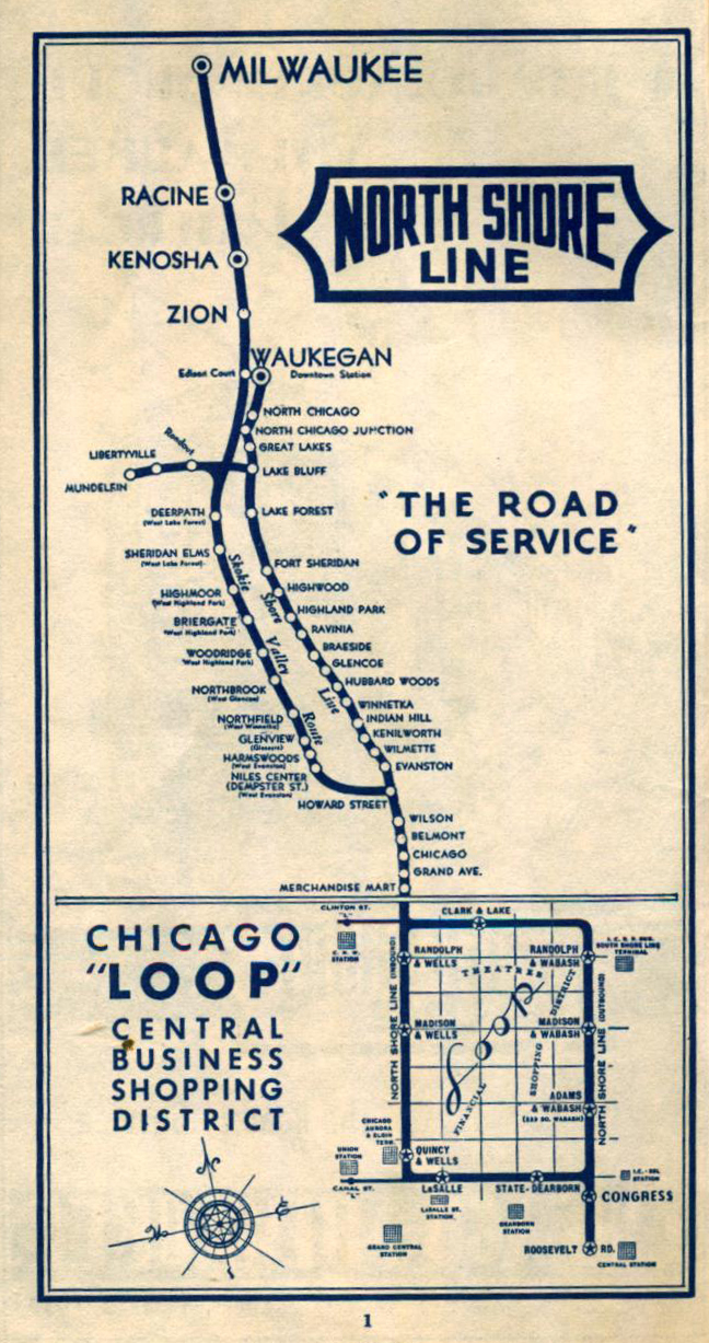
Transportation systems, obviously

Learning about how the Dutch created the safest network of streets for cycling is what started my near-obsession 15 years ago.

Then I went there in 2011 and I got to experience it for myself (photos from that trip).

I think the quality, capacity, likability, and integration of their transportation systems can be summarized best, for Americans who haven’t been there, by learning the results of a Waze survey: People who primarily drive in the Netherlands are more satisfied with the driving in their country than people in other countries are with driving in theirs.

In other words…if you like driving, then you should also care about what the Netherlands because they happened to also create the most driver-friendly transportation system.

Creating land & living with flooded land

As a novice, it’s probably easier to notice and understand how the Dutch create, move, and live with flooded land from above. There have been moments while I was cycling in the country where I’ve ridden past “polders” and former lakes and seas only to realize it later that I had biked through a massively transformed area that appeared entirely natural.

When I lived in Rotterdam for three months in 2016 I tried to visit as many places across the country as I could. I especially wanted to visit Flevopolder, the larger part of the Flevoland province, built from of the sea in 1986 where 317,000 people live.

I visited both major cities on the Flevopolder in the same day, Almere and Lelystad, the capital. I cycled from Almere (photos) to the seafront of Markermeer, and…get this…had to ride uphill because the land is below sea level.

Reaching the edge of Flevopolder, where it borders the sea called Markermeer
Cycling uphill to meet the sea north of the city of Almere, in the Flevoland province of the Netherlands.

Most Dutchies live below sea level, and the country has massive land and metal engineering works to keep the water in check.

The Dutch, especially in and around Rotterdam, come up with new ways to deal with water and export this knowledge abroad.

While the existing and planned measures should be sufficient until at least 2070, too much uncertainty over the progress of climate change remains afterwards to assess whether the city will truly stay liveable.

Some assessments suggest that if the sea rises by 5m – an estimate in sight within a century, considering the unpredictability of the rate that Greenland and Antarctica’s glacier will melt – Rotterdam will have no other choice but to relocate.

“Rotterdam: A bastion against rising sea, for now”
By Zuza Nazaruk

The country may rely on electricity to survive more than most: it’s needed to keep the pumps working, to keep the water in the sea instead of in and over the land.

How productive their agriculture industry is

By land area, the Netherlands is a very small country; it would be the tenth smallest state in the United States. By population, it would be the fifth largest state (17.6 million, greater than Pennsylvania’s 13 million).

Given that, how is it that the Netherlands is the world’s second largest exporter of agricultural products by value, after the United States?

Simple answer: High-quality, high-value, high-demand foodstuffs; space-efficient farming practices, including a significant amount of food grown vertically and in greenhouses. And, I don’t remember if this was in the article, very good transport connections to trading partners through seaports, canals, railways, and motorways.

I was surprised to see that both brands of canned cold brew coffee sold at the convenience store in my apartment building are produced in the Netherlands.

How to bike out to the Fox River Trolley Museum

Visiting the Fox River Trolley Museum is a fun day trip for anyone who likes Chicago train history or trolleys and streetcars generally. The FRTM is free to browse, and rides cost $5 each or pay $8 for unlimited rides (adult prices).

A Chicago Aurora and Elgin interurban electric train
Decades ago, it was possible to ride this Chicago Aurora & Elgin train all the way Batavia, Illinois, from Chicago. The CA&E’s former right of way is now the Illinois Prairie Path, the first rails-to-trails project in the United States.

The museum is not accessible to people with disabilities. It’s open Sundays from May to October and some holidays (check their calendar). The museum has two portable restrooms, but I recommend using the permanent and spacious ones in County Park.

Trip option 1, the short and direct option: Take Metra’s MD-West line to National Street and bike 15 minutes south along the Fox River Trail. The trail passes County Park, where there’s a playground, restrooms, and bike parking. Lock your bike here and walk on the gravel path from the park to the outdoor museum.

Trip option 2a, the really convenient option: Have a friend who loves planning multi-modal bike trips dig into the Metra schedules and send calendar invitations to everyone in the group so there’s great expectations as to when and where the trip starts and ends. Thank you, D.S.!

Trip option 2b, the longer one that incorporates more cycling: Take Metra’s BNSF line to Aurora Transportation Center (ATC). The BNSF line has Metra’s new bike cars on specific runs (check the schedules). This is important because it means you can bike with a larger group of people than before since your group’s size is less subject to capacity constraints for bikes on standard Metra trains – without bike cars – and unpredictable directions from Metra conductors. Additionally, on standard Metra trains, the posted bike capacity may be inaccurate if the conductors have not opened all of the coaches.

This is the bike car on Metra's BNSF line, at the Aurora Transportation Center
This is the bike car on Metra’s BNSF line, at the Aurora Transportation Center.

After disembarking at the ATC, ride to the north side of the center towards the river and use the signalized intersection to cross the high-speed road to the Fox River Trail. From here on out you’ll be following the FRT northward via its off-street and on-street sections. The trail is mostly off-street, so that’s fun, and it’s nice to have so much shade.

You can basically just bike north and follow the FRT signs but you may want to review a trail map ahead of time because it’s often possible to bike on either side of the Fox River and there are advantages to riding on one side over the other in some segments. For example, from downtown Batavia north to Fabyan Villa, I prefer the west side. At Fabyan Villa you’ll have to switch to the east side.

From Aurora, look for FRT direction signs that say “Batavia”, and then “Geneva”, and then “St. Charles”, and finally “South Elgin”. I believe the only option for cycling through downtown St. Charles is on-street, and there are some hills on its FRT street sections so be prepared or look for an alternative route.

This is as good a point as any to mention that you could shorten the bike trip by taking Metra’s UP-West line to Geneva, which is north of Aurora, and heading on downhill streets to the riverfront and crossing the pedestrian bridge underneath the Metra tracks to join the Fox River Trail on the east side to head north.

My two friends and I ate at Flagship on the Fox, an American restaurant and pub with seating indoors, on a covered patio, and outdoors. The Flagship Burger, with onion rings, avocado, bacon, and white cheddar cheese was delicious. Next door is Pollyanna Brewing Company, but which doesn’t sell food.

A lot of the FRT follows the old Aurora, Elgin and Fox River electric railway line! Can you believe that there used to be interurban trains running up and down the Fox River connecting the towns there (which I mentioned above)?

The Aurora, Elgin & Fox River Electric was an interurban offering both freight and passenger service between Yorkville and Carpenter, Illinois. Operations began as early as 1895 and closely followed the Fox River for its entire route. It underwent several mergers and names over its lifetime before eventually becoming 40 miles in length and operating two streetcar services in Aurora and Elgin.

As with most interurbans, the AE&FR was overtaken by buses and the automobile, and passenger service was discontinued in 1935. Freight service continued along portions of the route up until 1972.

AbandonedRails.com

The AE&FR ran on the Fox River’s west bank from Aurora to St. Charles, where it switched to the east bank. On approach to South Elgin, however, and due to a big bend in the Fox River, it kept going straight and found itself on the west bank again.

A bend in the Fox River moves the AE&FR interurban line from the east bank to the west bank again.
The former AE&FR bridge crossing the bend in the Fox River is now part of the Fox River Trail. Photo: Eric Allix Rogers

A minute or two after crossing the bend in the Fox River on the former interurban’s bridge, you’ll encounter the southern end of the Fox River Trolley Museum’s demonstration track. Less than 10 minutes later and you’ll be arriving at County Park where I recommend parking your bike.

What’s the timing on this? I don’t know. My friends and I took our time cycling and stopping for photos and eating. The relaxed riding nearly prevented us from being able to ride a trolley. The museum runs a trolley once an hour every hour, and we arrived a few minutes after the most recent trolley left the station. We needed to be in Elgin to ride Metra’s MD-West line back to Chicago at 15:55, and the next full ride would take so long that we would miss that train, and since it’s Sunday, it’s safe to assume that the next Metra train runs two hours later.

The volunteer staff at the museum were sympathetic to our case and created a special charter for just the three of us! The two operators and an apprentice took us on a shortened journey down the line, from Castlemuir (the home station) to a switching yard of sorts halfway down the line. The yard is where trains could be rerouted to a track that joined up with former Illinois Central tracks going east-west.

Our motley crew. Eric captioned this, “NBD just a private excursion along the Fox River in an old North Shore Line car!” Photo taken by one of the qualified train operators.

We rode the former North Shore Line car 715. This car used to run between Chicago and several cities along the North Shore, including Evanston and Willmette (where the Chicago Transit Authority’s Purple Line runs now), Skokie (where the CTA’s Yellow Line runs), and further north to Milwaukee. Check out the North Shore Line’s route map on the Northwestern University Transportation Library’s website.

Former North Shore Line car 715 at the Fox River Trolley Museum

You would have also seen car 715 running around the Chicago elevated loop, and making stops at the existing Belmont and Wilson elevated stations (although both of those have been replaced and tracks re-aligned for slightly faster service).

Once you’re done enjoying the historic trains at the FRTM, get back on the Metra and go home. Check out Elgin’s riverfront if you have to wait, and there are restaurants in downtown Elgin.

Elgin, Illinois, riverfront

Google Maps’s lies are why I made my own bike map

http://goo.gl/maps/BlIZF

Bright green lines indicate trails while darker green lines indicate bike lanes.

Because Google Maps lies about where bike facilities are. Check out the bicycling layer at 16th Street and Wood Street in Pilsen, Chicago, Illinois.

Google Maps bicycling layer legend

Google Maps bicycling layer legend

The bright green lines represent trails, but the ones in this part of Pilsen are not trails. All of the north-south “trails” you see are actually sidewalks underneath railroad viaducts. The east-west trails…well, I’m not sure what they are but they are on elevated railroad property. Don’t go up there.

I created my own bike map to deal with the inaccuracies across Google Maps. I used my local knowledge (“ground truth”) and high-quality bike facility data from the Chicago Department of Transportation.

I also used contributions to OpenStreetMap, mainly for trails. I’ve been correcting and adding new bike lane data to OSM as CDOT installs them. View this area with OpenCycleMap’s tiles, which shows only bike lanes on 18th Street.

If you’re an editor on Google’s Map Maker data editing platform, please correct these errors. I would do it except that Google doesn’t allow others to benefit from my data contributions like OpenStreetMap does, where anyone can give and take. (I also had a negative experience on Map Maker, getting myself into a tiff with an unnamed user who disagreed with my changes, based on a personal visit to the location, that were not visible on the satellite imagery because that location had outdated imagery.)