The map of maps.
Over on my website Chicago Cityscape I’ve assembled a map of maps: There are 20,432 maps in 36 layers. You might say there are 36 maps, and each of those maps has an arbitrary number of boundaries within. I say there are 20,000+ maps because there’s a unique webpage for each of them that can tell you even more information about that map.
This post is to throw out some analysis of these maps, in addition to the simple counts above.
The data comes from the City of Chicago, Cook County, and the U.S. Census Bureau. Some layers have come from bespoke sources, including the entrances of CTA and Metra stations drawn by Yonah Freemark and me for Transit Explorer. The sections of the Chicago River were divided and sliced by the Metropolitan Planning Council. The neighborhood and business organizations layers were drawn by me, by interpreting textual descriptions of the organizations’ boundaries, or by visually copying an organization’s own map.
There are 6,879 unique words longer than 2 characters, in the metadata of this map of maps. The most common word is “annexation”, which makes sense, given that the layer with the most maps shows the 10,668 Cook County annexation actions since 1830 – the first known plat was incorporated in the City of Chicago.
The GeoJSON file, an open source, human readable GIS format, comes out to 30 MB, and it make break your browser when you try to display this layer.
The next group of words are also generic, like “planned” and “development”, related to the Planned Development kind of zoning process in Chicago – called Planned Unit Development in other jurisdictions.
After that, some names of municipalities that traded back and forth between unincorporated Cook County and incorporated municipalities are on the list.
Working down the list, however, it gets really boring and I’m going to stop. I bet if you’re a smarter data science person you can find more interesting patterns in the words, but I’ve also increased the number of generic words (like planned development) by adding these as keywords to each map’s “full text search” index, to ensure that they would respond to a variety of search phrases from users.


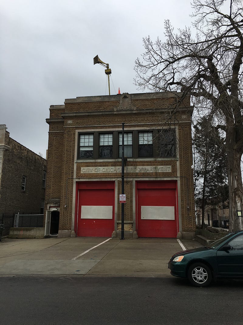 The city-owned fire station at